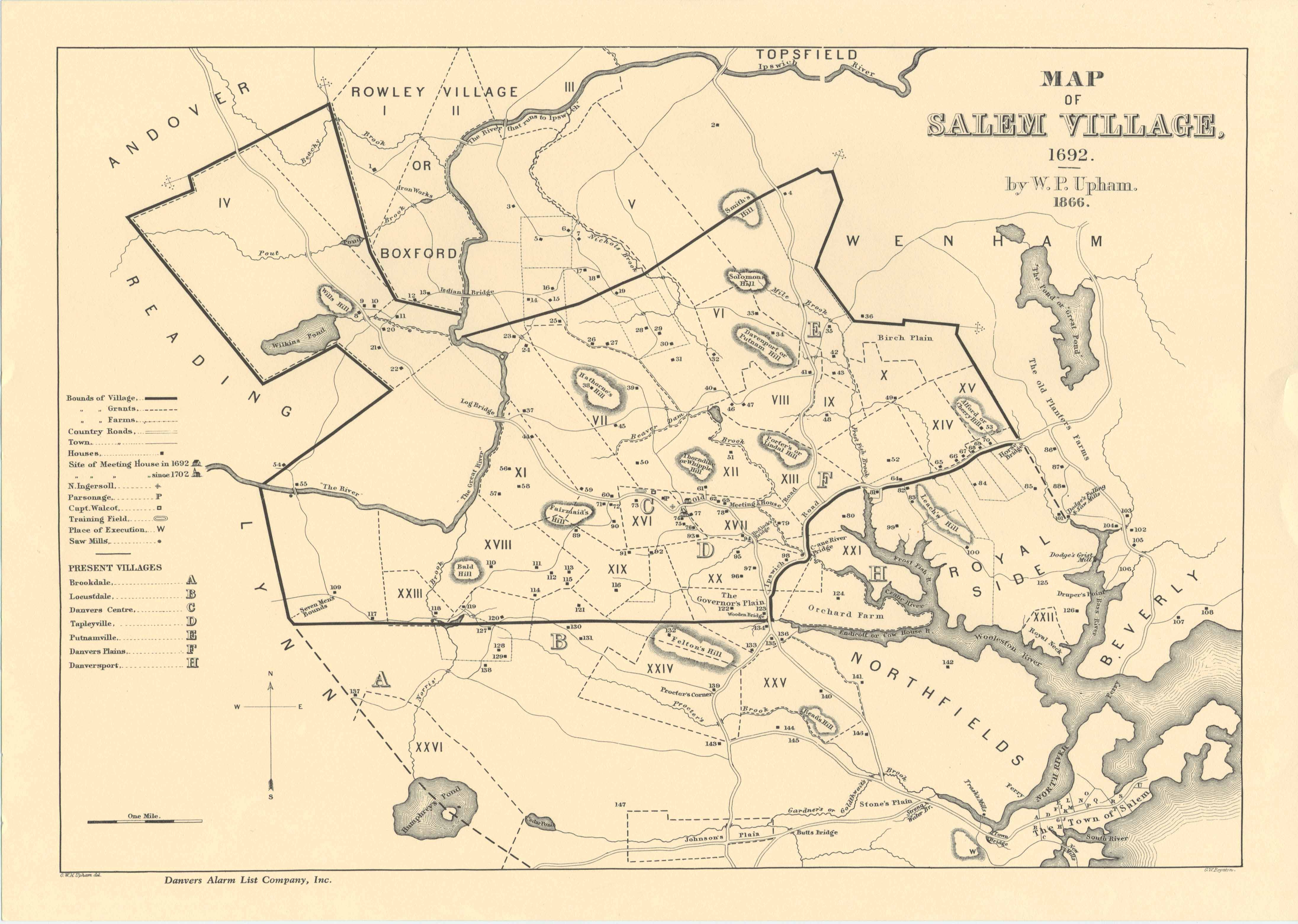
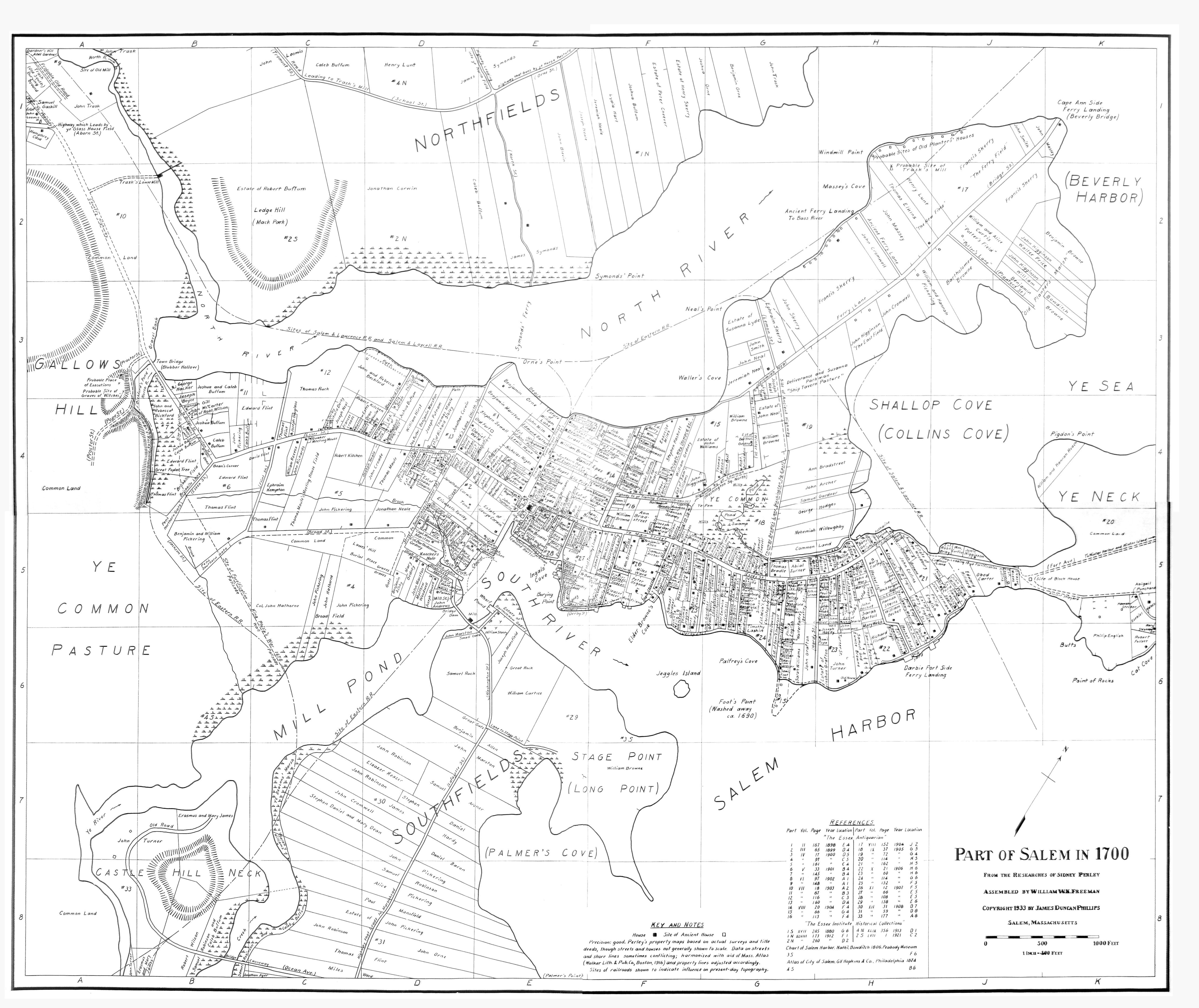
Locations concerned with the Salem Witch Trials.
Please remember all Google Earth picture locations are approximate. References are from the following resources:
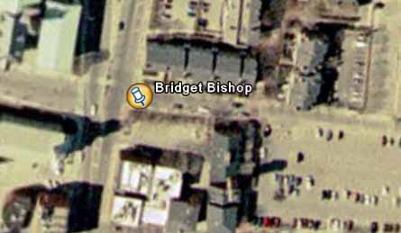
Approximate location of Bridget Bishop House. (42 31'23.08N 70 53'44.61W)
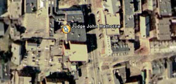
Judge John Hathorne lived approximately here. (42 31'15.21N 70 53'45.71W)
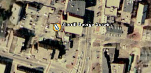
Sheriff George Corwin lived about here. (42 31'13.79N 70 53'46.08W)
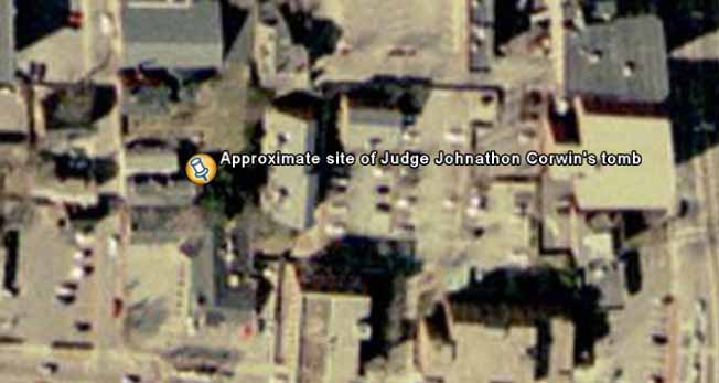
Approximate location of Judge Jonathon Corwin's Tomb. (42 31'13.99N 70 53'50.09W)
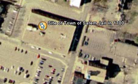
Site of Salem Goal in 1700. (42 31'24.77N 70 53'38.45W0
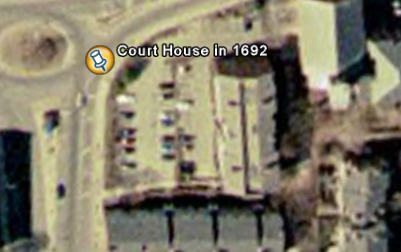
Approximate site of Salem Courthouse in 1692. (42 31'25.50N 70 53'45.02W)
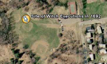
Site of executions, Gallows Hill, Massachusetts. (42 30'58.40N 70 54'46.13W)
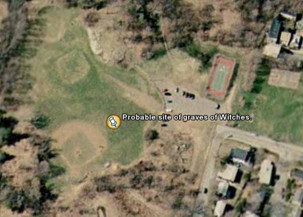
Probable site of Witch's graves in 1692 (42 30'56.84N 70 54'43.47W)
Where the Witchcraft hysteria began. Site of the Salem Village Parsonage. Circa 1891
Ann Putnam House. Off Dayton St, Danvers. Circa 1891
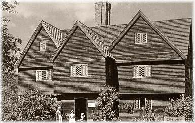
Jonathan Corwin House - Northwest corner of the intersection of Essex and North Streets, Salem
Home of the Rev Samuel Parris, Centre Street Danvers. Circa 1891
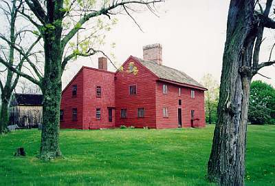
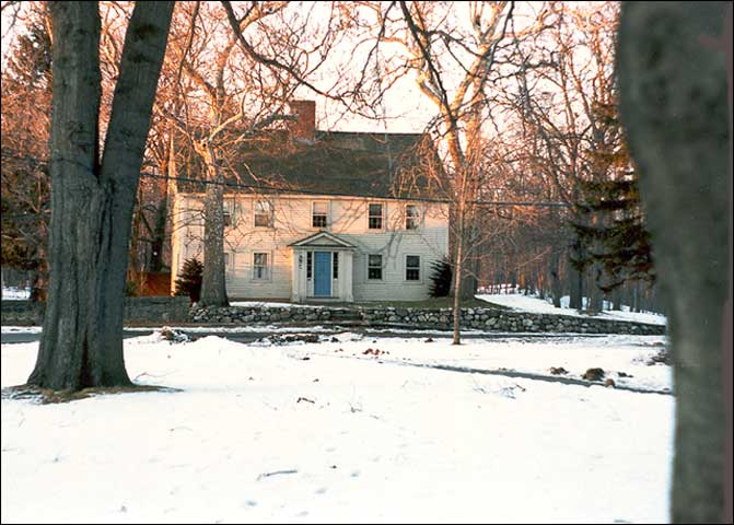
Rebecca Nurse house. Still standing. (approximately 42 33'32.67N 70 56'52.39W)
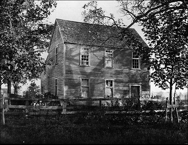
George Jacobs house. Danversport Mass.
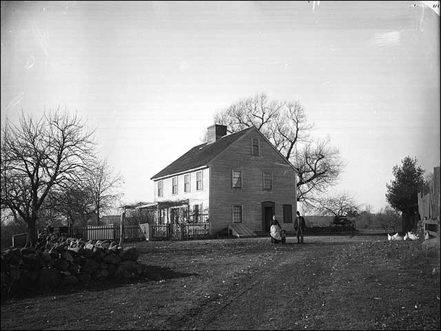
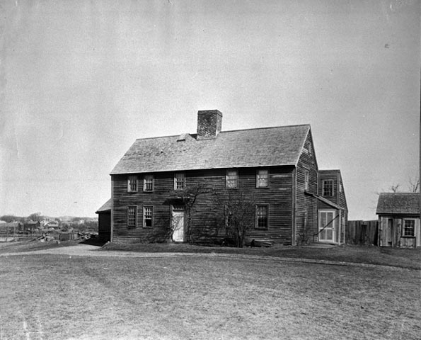
Nathaniel Ingersoll's Ordinary, Danvers Mass. Still standing. (42 33'53.98N 70 57'38.21W)
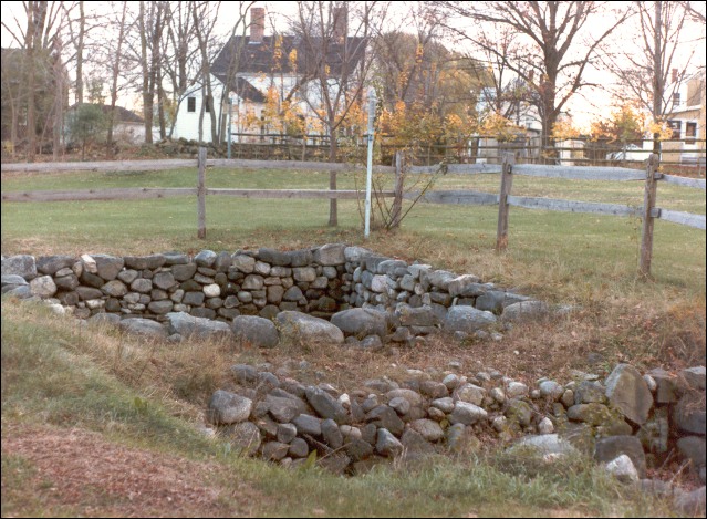
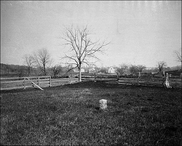
Site of the Salem Village Parsonage 1681. (approximately 42 33'58.65N70 57'44.00W)
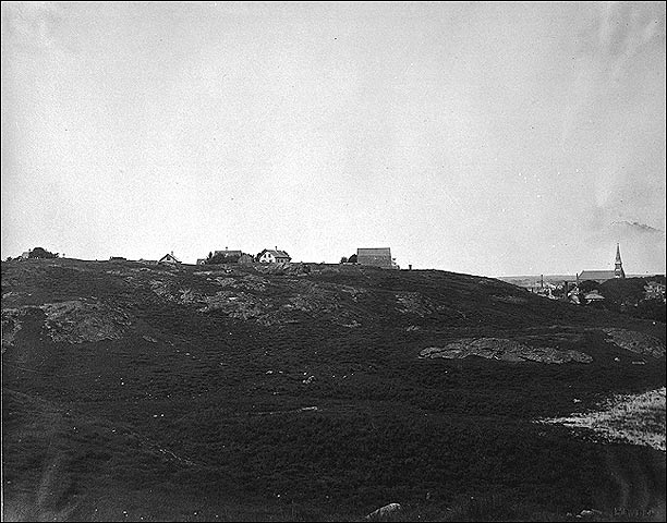
Gallows Hill, Salem. Circa 1898
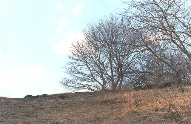
Gallows Hill, Salem (vicinity of 42 30'56.41N 70 54'48.67W)
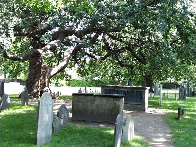
Charter Street Burying Point. Established in 1637. The oldest cemetery in Salem (42 31'13.81N 70 53'32.65W)
Back to my "Other Bits" Page.